
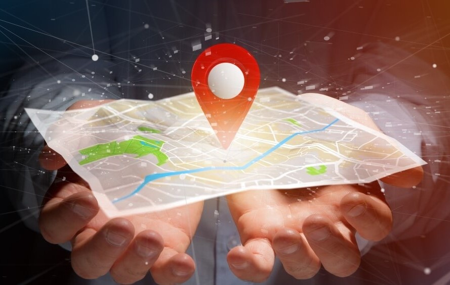
Intuitive GIS solutions tailored to your real-world challenges.
Enjoy a seamless GIS journey while we navigate the complexities of data and technology on your behalf.
Vendor-Neutral
ESRI, Open Source, or hybrid: we know ALL the software, systems and tools and use what works best for you.
Exclusive Knowledge & Tools
Built on decades of experience, gain instant access to our extensive knowledge base including scripts, client briefs and templates.
Maps & Visuals
Confusing maps? Not on our watch. We design visuals that guide decisions, tell the right story — and yes, they make you look good while doing it.
Analyze
We Make Complex Data Clear. Cut through complexity to reveal the patterns, risks, and opportunities that matter most—so you can move forward with confidence.
If your problem is spatial, we can help!
Featured Services
Our services are custom tailored for you!
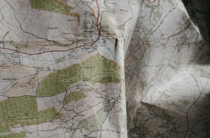
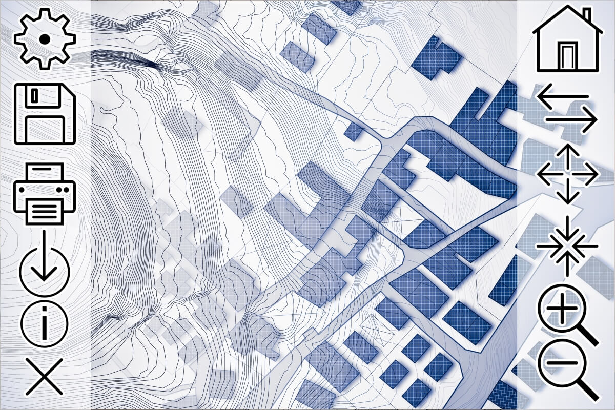
Cartography & Mapping
Need a map? We have you covered from base data to templates. High resolution map graphics in hard copy or web friendly formats.
Spatial Analysis
Routing, proximity, change detection, and more. Ask the question and we will find the answer.
Transformation & Translation
We can translate any format into any other format! SHP, FGDB, GeoJson, CAD, GPX, etc.
Development & Automation Services
Let us be your geospatial development partner! From ArcGIS Online Experiences to dashboard built on Leaflet, we will custom build your GIS app.
What Our Clients Say
What We Offer
Layered Spatial Intelligence, Built for Clarity and Action
When you need to make informed decisions about land, infrastructure, or your community, VGeo helps you see the whole picture. We transform your data into clear, intuitive maps and tools that answer real questions — so you can communicate better, plan smarter, and act faster.
Whether you’re launching a project, engaging stakeholders, or managing assets, we make spatial simple.
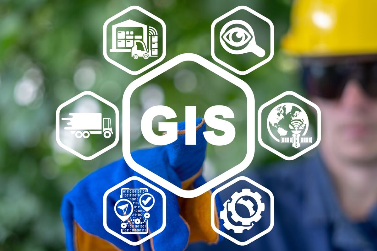
GIS & Mapping Solutions
A full suite of GIS services tailored to your needs
- Custom Mapping & Cartography
- Clean, organized GIS data management
- Interactive dashboards & web apps
- Spatial analysis & scenario modeling
- Clear documentation & data stewardship
- Standards-based naming, styling & metadata
- Web hosting and ongoing support (optional)
GIS Consulting & Technical Support
Whether you’re just getting started or need expert backup, VGeo can help.
-
GIS Program Development & Advising Not sure where to start? We help you choose the right tools, processes, and path forward.
-
Data Verification & QA/QC Don’t trust messy data. We clean, verify, and document it so you can rely on your results.
-
Training & Mentorship Need to build in-house capacity? We offer tailored training for GIS staff, students, or decision-makers.
-
Technical Support Think of us as your on-call GIS team—available when you need us, without the overhead.
Why VGeo?
You need a GIS partner who gets your world. That’s why clients choose us:
With over 25 years of GIS leadership, 10+ years of web mapping expertise, and a sharp eye for design and usability, we deliver tools that work — and look good doing it.
-
Vendor-Neutral ESRI, Open Source, or hybrid: we use what works best for you, not just what’s popular.
-
Quality You Can Trust We deliver results right the first time—clean, validated, and ready for use.
-
Exclusive Knowledge & Tools Instant access to our library of GIS tools, scripts, templates, and hard-won expertise.
-
Transparent Pricing No hidden fees—choose fixed-price, hourly, or phased billing to match your needs.
-
Business Continuity Our data stewardship and documentation practices ensure smooth handoffs and future readiness.
“I have used VGeo twice, and both experiences were outstanding. I would like to thank Vera Green, who has been professional, patient, and highly supportive throughout our entire process. I would recommend VGeo to anyone.”
Our Approach
Flexible, Friendly & Focused on You
We’re not just here for a project — we’re here for the long run. VGeo builds strong, ongoing partnerships with clients across sectors. Led by Vera Green, our team brings over 60 years of combined GIS experience to help you scale without overloading your internal staff.
We fill the gaps. Whether you need a single map, a full system build, or ongoing GIS support, we adapt to your workflow, not the other way around.
- Reduce hiring stress with flexible, on-demand support
- Tap into a full-service team without committing to overhead
- Get polished, presentation-ready deliverables every time
Let's put you on the map!
With us, you’re not a customer, you’re a partner
Cartography & Mapping
Transforming Data into Visual Media
From field data to compelling maps, we specialize in transforming information into meaningful figures. Our cartographic products are custom tailored to meet your unique needs, ensuring your data is presented effectively for your target audience, industry, and project requirements. Whether you require data management throughout your project's lifecycle or expert cartography, mapping, and figure generation for your final dataset, we've got you covered.
Versatile Solutions for Your Mapping Needs
- All standard page sizes
- Map Books
- Large format Map
- Alignment Sheets
We offer a wide range of templates, layouts, formats and other options. No matter the scale or type of map you need, our skilled team can create the visuals you require.
Cartographic Elements
- Custom map layouts
- Advanced Annotation
- Dynamic map elements
- Industry specifications
We're committed to delivering tailored cartographic solutions that tell your data's unique story.
Transformation Services
We Can Translate Anything
Do you need your data in a different file type, format or projection? We can translate any spatial type to any other spatial data type. We can also transform data to any standard or custom spatial data projection.
Transformations
- Any file
- Any database
- Any projection
Spatial Data File Formats
- Shape Files (.shp)
- Key Markup Language (.kml, .kmz)
- GPS Exchange Format (.gpx)
- GeoJason (.json)
- CAD Files (.dwg, .dxf)
- ESRI Personal Geodatabase (.mdb)
- MapInfo TAB (.tab)
- Spatial Database (PostGIS, Oracle Spatial)
- SpatiaLite (.sqlite)
- TopoJSON (.topojson)
- File Geodatabase (.gdb)
- GeoTIFF (.tiff, .tif)
- And Others . . .
We can translate any data format to any other data format.
Spatial Analysis
Transforming Raw Data into Actionable Intelligence
Spatial analysis is your key to data-driven success. It's more than just a tool; it's the cornerstone of strategic decision-making, problem-solving, and smart planning. It provides deeper situational awareness empowering you to understand your surroundings, manage risks effectively, and allocate resources with precision, all of which boost your competitive edge.
Our skilled analysts have you covered from the fundamentals like buffering, clustering, and proximity analysis to advanced techniques involving advanced interpolation and prediction algorithms, including powerful machine learning methods. Whether you're selecting the ideal site, finding the nearest location, assessing terrain for risk management, or pursuing any other analytical endeavor, our services reveal valuable insights buried within your geospatial data.
With our analytical services in your toolkit, you'll have the information you need at your fingertips, positioning you as a leader in your industry.
Types of Analysis
- Proximity Analysis
- Network Analysis & Routing
- Change Detection
- Suitability Analysis
- Hot Spot Analysis
- Spatial Clustering
- Spatial Interpolation
- Terrain Analysis (Elevation, Slope, Aspect, etc.)
We're focused on providing customized spatial analysis solutions that bring out the unique narrative in your data.
Web Maps & Sharing
Share Anything on the Web
Web mapping can be as simple as sharing your data deliverables vi a Google Map or importing a KML to Google Earth, or as advanced as a nodeJS application backed by a postGIS database. Whatever your web based needs, we have you covered with a solution that fits both your budget and skill level. We pride ourselves in providing user friendly solutions which make GIS data accessible to the majority of users.
Web Mapping Delivery Systems
- Leaflet
- Open Layers
- Google Earth
- Google Maps
- ArcGIS Online
We work with a variety of spatial libraries and back end architecture solutions to ensure the product we deliver to you meets both your use case and your budget.
GIS In The Cloud
- Share
- Search
- Edit
- GIS In The Cloud
Work with us to take your GIS needs to the next level with a tailored web mapping solutions that is accessible any time from any where.
Development & Automation
Custom Solutions: When one size does NOT fit all
When your business is as unique as your fingerprint and we can't find an off the shelf solution to solve your problem, custom development is your key to success. Building on a library of existing code, we can build a custom solution as basic as a python script and as advanced as a progressive web app which works offline.

GeoSpatial Development Services
- Bash Scripts run by Cron
- Custom ESRI or QGIS Extensions & Scripts
- Leaflet based Web Maps
- Progressive Web Applications with GeoLocation
- nodeJS Applications with PostGIS back ends
If you can't get it off the shelf, we can build it for you.
Programing Languages
- Python (ArcPy & QGIS)
- SQL (MS-SQL & PG-SQL)
- CSS (GeoServer Styling and more)
- Java Script
- Bash/Shell
From basic to advanced our analysts and developers have you covered from shell scripts run by cron to fully featured PWA's and nodeJS applications.

-
Vera Green (CEO)
A Trusted Leader
Over 25 years of experience helping clients succeed with GIS
Hi, I'm Vera, and for over 25 years, I've specialized in helping small businesses to unlock the power of GIS. I understand the unique challenges faced by business owners. My mission is to provide tailored GIS products and services designed specifically for your distinct business needs.
I'm proud to say that I'm platform agnostic, equally adept with open-source tools as well as industry leaders like ArcGIS from ESRI. This flexibility ensures the GIS solutions I provide fit both the needs and the budget of my clients.
My passion for breaking down barriers to geospatial data access and utilization is reflected in how I work with clients and the products I deliver. I'm here to empower you and your entire team, regardless of your level of expertise.
Whether you need a single map or a comprehensive GIS strategy, my expertise is your competitive advantage. I take pride in delivering user-friendly, customized solutions that provide tangible support to your business.
Let's collaborate today and propel your business forward with the transformative power of GIS!
-
Our Team
A Group Of Professional GIS Consultants
From field work to final deliverable, our team has you covered every step of the way
VGeo consists of a team of skilled GIS professionals with a wide range of expertise. We will align your project needs with the right people to get your project done right, the first time and every time.
Whether you require GPS field support, cartography, spatial analysis, or one of our other services, the VGeo team of experts has you covered at all stages of your project.
If your project involves spatial data, we have the skills to deliver value at every stage.
Let's collaborate today and propel your business forward with the transformative power of GIS!
F.A.Q
Frequently Asked Questions
-
Why do you use both proprietary software like ArcGIS and open source software like QGis?
After working with GIS software for over 25 years we feel comfortable working with either product. We tailor the software we use to our client needs.
-
Curious about what we mean by affordable services? Wondering if we offer bargain prices?
We're delighted you asked. Here's the deal: Many businesses end up overpaying for GIS services. We take pride in providing cost-effective, flexible solutions that align with our clients' budgets.
But let's be clear, we're not a discount vendor. In fact, you'll find our rates to be highly competitive. Here's how you save with us in the short and long term:
In the short term, our experienced team and in-house library of tools and templates mean tasks get done efficiently, saving you time and money.
In the long term, we excel in setting up cost-effective processes and licensing structures, ensuring you pay only for what you need. No hidden costs or redundant fees; we automate where possible.
Also, we only charge for real, tangible services, not inflated metrics like cycle times. You've heard the saying: `If you think you can't afford a professional try hiring an armature.` When you partner with us, you are working with professionals who deliver value through their experience.
-
What do you mean when you say your services are accessible? I don't often hear that term in the context of GIS services.
We appreciate your question. We are including the term `accessible` intentionally because it reflects a core value of ours.
Over our 25+ years of working with clients, we've noticed a recurring theme: GIS tends to be limited to a select few within organizations. There's a significant barrier to access, created by the nature of GIS data and the way GIS systems are traditionally set up. This lack of accessibility means that the potential of GIS remains largely untapped by most team members in an organization, and that's something we're determined to change.
We're dedicated to making GIS accessible to your entire organization. Interested in our approach? Schedule a call today, and let's discuss breaking down barriers for widespread GIS use.
-
What is the hardest thing about GIS?
From a client perspective, the hardest thing about GIS is understanding how powerful it is and how you can use it effectively in your business. We work with clients every day to make GIS understandable and accessible. We try to make our deliverables user friendly and to empower our clients to interact with GIS data in an easy way.
From a GIS professional perspective the hardest parts of GIS are projections and performance.
-
Are you a survey company? Can you survey my property?
We can help you visualize or transform your existing survey data. However, we do not currently have the specialized equipment required to collect new survey data in the field.
-
How much does it cost to get up and running with web mapping?
We get this question a lot, so we are glad you asked! To answer this question we use a car analogy: How much does it cost to buy a car? Well, that depends. Are you a teenager looking for their first ride or a family looking for a safe and reliable vehicle to last you the next decade? The amount you need to spend on a car depends on your needs, personal circumstance, and available budget. It's the same for web mapping applications.
Our smallest web mapping solution was delivered for 1 thousand dollars and we also worked with a client over four years during which time we developed a sophisticated web application valued today at half a million dollars. Based on this, web mapping solutions cost somewhere between 1 thousand and 500 thousand dollars. But the smaller once are more fun to build ;-)
-
Are you hiring? How do I get a job with VGeo?
We sincerely appreciate your interest in joining our team and the time you have taken to explore potential opportunities with us. Your enthusiasm and commitment do not go unnoticed, and we are grateful for the interest you've shown in becoming a part of our organization. However, at this time, we want to be transparent and inform you that we are not currently hiring for any positions.
Please refrain from filling out the contact form for job applications as we will not reply to job seekers through this form.
While we are not currently hiring, when we do, we require candidates to be legally allowed to work in Canada,possess a degree in GIS, and be open to starting on an as and when needed basis with no guaranteed hours.
If you find these conditions align with your career goals and you are still interested in potential future opportunities with us, please feel free to send your resume to: contact@vgeo.ca. Ensure the subject line reads: Job Seeker: First Name, Last Name. We value your continued interest in our organization and wish you success in your job search
Thank you once again for considering us as a potential employer.
Software We Use and Trust


Ready to check off your GIS goals? Let’s get started.
Instant Info . . .
Legal Survey Requests
Custom Map Requests
Job Seekers