Your business is as unique as your fingerprint.
Routing, proximity, change detection, and more. Ask the question and we will find the answer.
something, something, something
We can translate any format into any other format.
From field data to compelling maps, we specialize in transforming information into meaningful figures. Our cartographic products are custom tailored to meet your unique needs, ensuring your data is presented effectively for your target audience, industry, and project requirements. Whether you require data management throughout your project's lifecycle or expert cartography, mapping, and figure generation for your final dataset, we've got you covered.
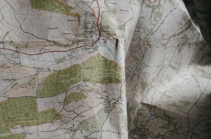
We offer a wide range of templates, layouts, formats and other options. No matter the scale or type of map you need, our skilled team can create the visuals you require.
We're committed to delivering tailored cartographic solutions that tell your data's unique story.
Do you need your data in a different file type, format or projection? We can translate any spatial type to any other spatial data type. We can also transform data to any standard or custom spatial data projection.
We can translate any data format to any other data format.
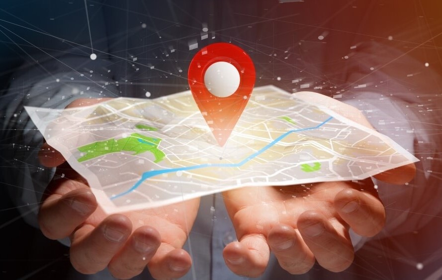
Spatial analysis is your key to data-driven success. It's more than just a tool; it's the cornerstone of strategic decision-making, problem-solving, and smart planning. It provides deeper situational awareness empowering you to understand your surroundings, manage risks effectively, and allocate resources with precision, all of which boost your competitive edge.
Our skilled analysts have you covered from the fundamentals like buffering, clustering, and proximity analysis to advanced techniques involving advanced interpolation and prediction algorithms, including powerful machine learning methods. Whether you're selecting the ideal site, finding the nearest location, assessing terrain for risk management, or pursuing any other analytical endeavor, our services reveal valuable insights buried within your geospatial data.
With our analytical services in your toolkit, you'll have the information you need at your fingertips, positioning you as a leader in your industry.
We're focused on providing customized spatial analysis solutions that bring out the unique narrative in your data.
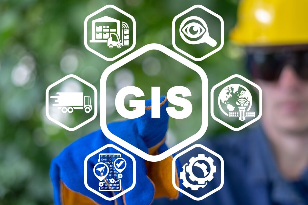
Web mapping can be as simple as sharing your data deliverables vi a Google Map or importing a KML to Google Earth, or as advanced as a nodeJS application backed by a postGIS database. Whatever your web based needs, we have you covered with a solution that fits both your budget and skill level. We pride ourselves in providing user friendly solutions which make GIS data accessible to the majority of users.
We offer a wide range of templates, layouts, formats and other options. No matter the scale or type of map you need, our skilled team can create the visuals you require.
We're committed to delivering tailored cartographic solutions that tell your data's unique story.
When your business is as unique as your fingerprint and we can't find an off the shelf solution to solve your problem, custom development is your key to success. Building on a library of existing code, we can build a custom solution as basic as a python script and as advanced as a progressive web app which works offline.

If you can't get it off the shelf, we can build it for you.
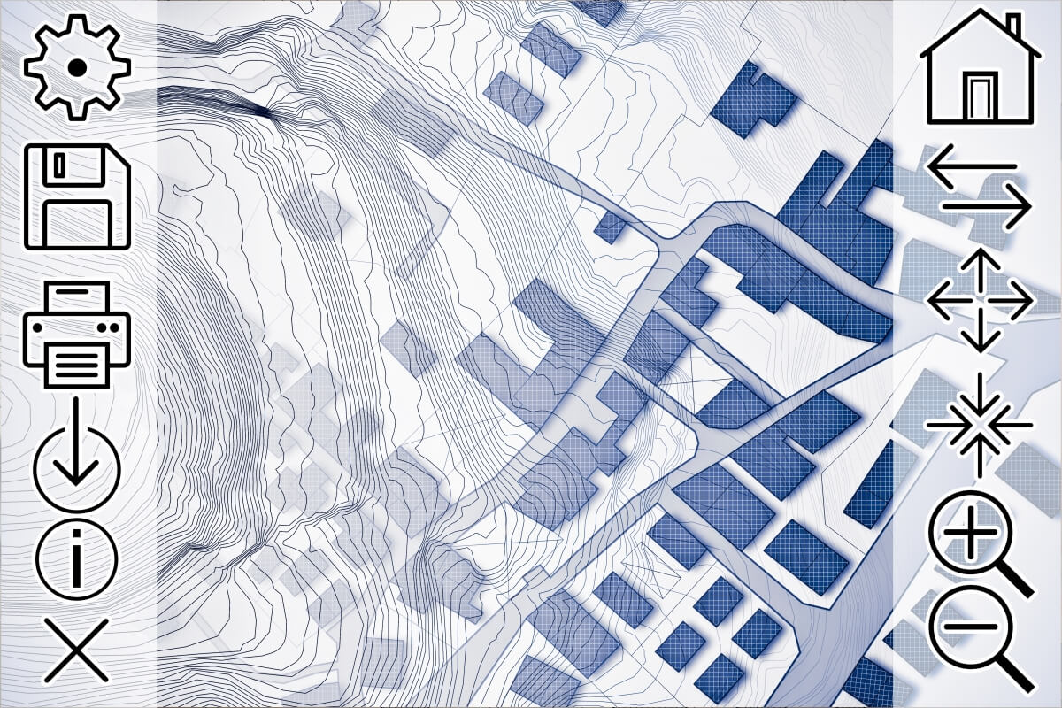
From basic to advanced our analysts and developers have you covered from shell scripts run by cron to fully featured PWA's and nodeJS applications.
Automate to increase your margin
We create effective visual tools to simplify spatial data on the map. Get yours today!
Beyond python, from data pipelines to GIS Apps, we have you covered with top tear development.
When one size does NOT fit all, we custom build field apps.
From field data to compelling maps, we specialize in transforming information into meaningful figures. Our cartographic products are custom tailored to meet your unique needs, ensuring your data is presented effectively for your target audience, industry, and project requirements. Whether you require data management throughout your project's lifecycle or expert cartography, mapping, and figure generation for your final dataset, we've got you covered.
We offer a wide range of templates, layouts, formats and other options. No matter the scale or type of map you need, our skilled team can create the visuals you require.
We're committed to delivering tailored cartographic solutions that tell your data's unique story.
Do you need your data in a different file type, format or projection? We can translate any spatial type to any other spatial data type. We can also transform data to any standard or custom spatial data projection.
We can translate any data format to any other data format.
Spatial analysis is your key to data-driven success. It's more than just a tool; it's the cornerstone of strategic decision-making, problem-solving, and smart planning. It provides deeper situational awareness empowering you to understand your surroundings, manage risks effectively, and allocate resources with precision, all of which boost your competitive edge.
Our skilled analysts have you covered from the fundamentals like buffering, clustering, and proximity analysis to advanced techniques involving advanced interpolation and prediction algorithms, including powerful machine learning methods. Whether you're selecting the ideal site, finding the nearest location, assessing terrain for risk management, or pursuing any other analytical endeavor, our services reveal valuable insights buried within your geospatial data.
With our analytical services in your toolkit, you'll have the information you need at your fingertips, positioning you as a leader in your industry.
We're focused on providing customized spatial analysis solutions that bring out the unique narrative in your data.
Web mapping can be as simple as sharing your data deliverables vi a Google Map or importing a KML to Google Earth, or as advanced as a nodeJS application backed by a postGIS database. Whatever your web based needs, we have you covered with a solution that fits both your budget and skill level. We pride ourselves in providing user friendly solutions which make GIS data accessible to the majority of users.
We offer a wide range of templates, layouts, formats and other options. No matter the scale or type of map you need, our skilled team can create the visuals you require.
We're committed to delivering tailored cartographic solutions that tell your data's unique story.
Geo Stories, Blogs and Technical Documentation
Ensure business continuity through documentation
something, something, something
something, something, something
From field data to compelling maps, we specialize in transforming information into meaningful figures. Our cartographic products are custom tailored to meet your unique needs, ensuring your data is presented effectively for your target audience, industry, and project requirements. Whether you require data management throughout your project's lifecycle or expert cartography, mapping, and figure generation for your final dataset, we've got you covered.
We offer a wide range of templates, layouts, formats and other options. No matter the scale or type of map you need, our skilled team can create the visuals you require.
We're committed to delivering tailored cartographic solutions that tell your data's unique story.
Do you need your data in a different file type, format or projection? We can translate any spatial type to any other spatial data type. We can also transform data to any standard or custom spatial data projection.
We can translate any data format to any other data format.
Spatial analysis is your key to data-driven success. It's more than just a tool; it's the cornerstone of strategic decision-making, problem-solving, and smart planning. It provides deeper situational awareness empowering you to understand your surroundings, manage risks effectively, and allocate resources with precision, all of which boost your competitive edge.
Our skilled analysts have you covered from the fundamentals like buffering, clustering, and proximity analysis to advanced techniques involving advanced interpolation and prediction algorithms, including powerful machine learning methods. Whether you're selecting the ideal site, finding the nearest location, assessing terrain for risk management, or pursuing any other analytical endeavor, our services reveal valuable insights buried within your geospatial data.
With our analytical services in your toolkit, you'll have the information you need at your fingertips, positioning you as a leader in your industry.
We're focused on providing customized spatial analysis solutions that bring out the unique narrative in your data.
Web mapping can be as simple as sharing your data deliverables vi a Google Map or importing a KML to Google Earth, or as advanced as a nodeJS application backed by a postGIS database. Whatever your web based needs, we have you covered with a solution that fits both your budget and skill level. We pride ourselves in providing user friendly solutions which make GIS data accessible to the majority of users.
We offer a wide range of templates, layouts, formats and other options. No matter the scale or type of map you need, our skilled team can create the visuals you require.
We're committed to delivering tailored cartographic solutions that tell your data's unique story.